
Did you know you can get free GIS Data in both Vector and Raster format for the entire world? Natural Earth Data provides three scales of data at:
1:10,000,000
1:50,000,000
1:110,000,000
These might seem like really small scales (and they are!), but if you’re mapping global data it’s more than suitable! Additionally all the data is in the same format/projection. Featured data themes include:
- Countries
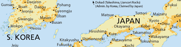
- Disputed territories
- First order administration
- Populated Places
- Urban Places
- Parks and Protected Areas
- Pacific Nation Groupings
- Water boundaries
- Railroads!
- Coastline
- Land
- Ocean
- Minor islands
- Reefs
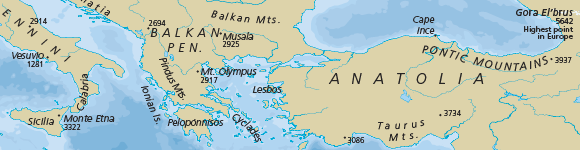
- Physical Region Features
- River and Lake Centerlines
- Lakes
- Glaciated Areas
- Antartic Ice Shelves
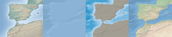
- Bathymetry
- Geographic Lines
- Graticules
Additionally, there are some very nice elevation rasters!
So what are you waiting for!? Go check out Natural Earth Data’s website! Also Preview the data in their web mapping platform.