 |
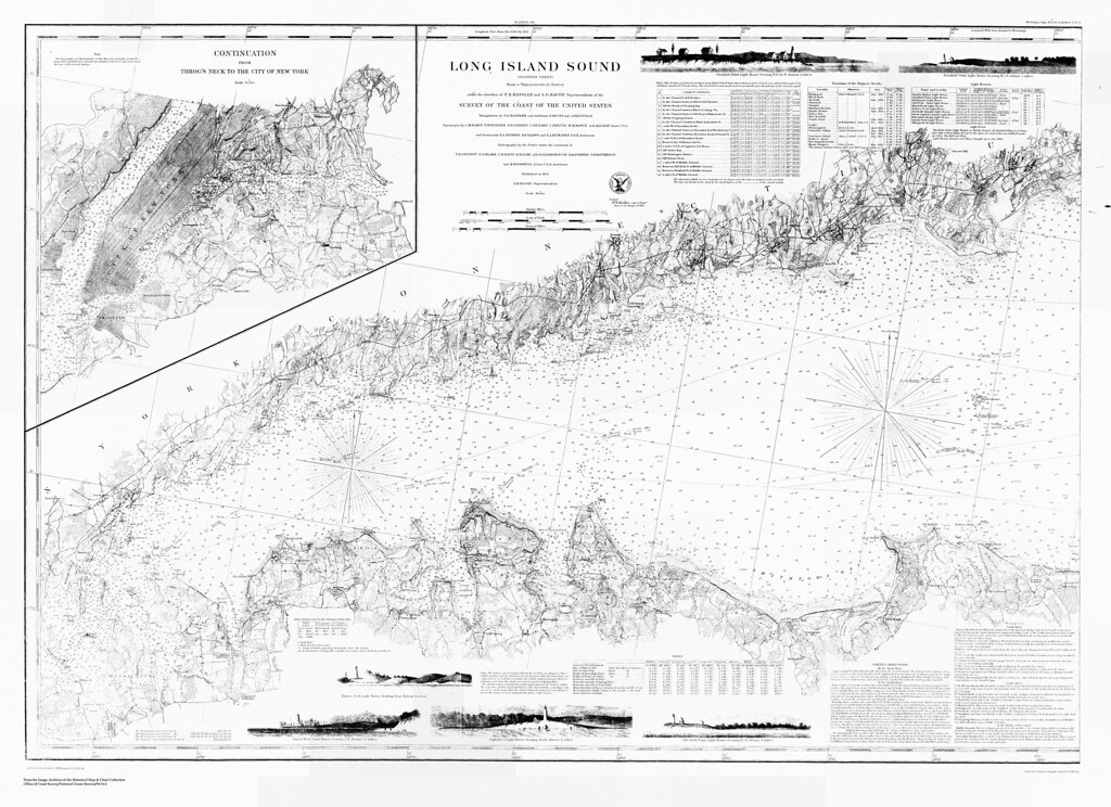
Long Island Sound (western sheet) / from a trigonometrical survey under the direction of F.R. Hassler and A.D. Bache |
I’m starting a new adventure and it all came about from playing around with maps! Last month I was hired as the supervisor of the Treworgy Planetarium at Mystic Seaport and that means you’ll probably be hearing less and less from me as an author here at Outside the Neatline. You may be hearing about special events or items of interest that I stumble across or new geographical information related to the maritime tradition. For example, do you know what the difference between a map and a chart? I’ve had to learn quickly!
 |
| Part of a chart, showing Kidds Humbug, Lents Cove From the Mystic Seaport Image Archives |
Reading and using a chart is one of the basic skills that are taught at the Treworgy Planetarium. Concepts such as map projections, scale, taking bearings and plotting headings are covered in the classwork (very geographical). Other course offerings include taking a noon sighting of the sun with a sextant, celestial navigation to find latitude and longitude, and marine weather.
In the next few months I’ll be developing a new blog platform for the Treworgy Planetarium so keep your eyes peeled!
