
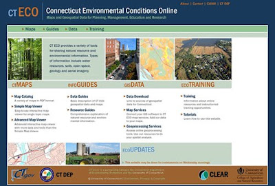
The Connecticut Environmental Conditions Online (CT ECO) includes maps and GIS data pertaining to Connecticut and below are a few highlights of this resource:
- Aerial photography (multiple years)
- Open Space Data Layers
- Soils
- Watersheds
- And much more!
CT ECO also offers ArcGIS users with the ability to connect directly to data sets. Details on connecting to datasets and for a listing of layers available visit: http://cteco.uconn.edu/map_services.htm