
 Just a few months after its transfer from the main library’s Federal Documents Collection, the World War Two Newsmap Collection is now available for patron use! The finding aid can be found here: https://archivessearch.lib.uconn.edu/repositories/2/resources/1040
For me, processing this new acquisition was a real pleasure; while I consider myself fairly well-versed in the history of the Second World War, I had never heard of the Newsmaps, and welcomed the opportunity to educate myself on them.
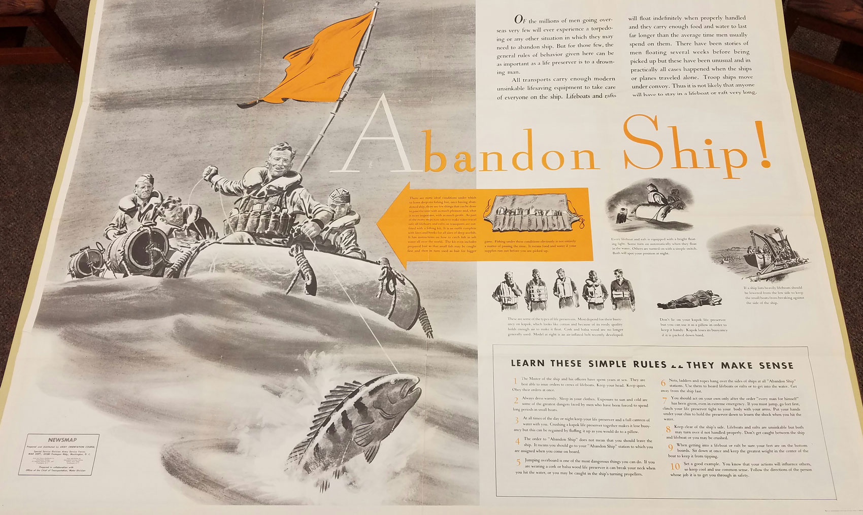
Newsmaps would often feature informational lay-outs for service members, like this one from the July 5, 1943 edition.
These large, two-sided posters were first published in the spring of 1942 by the U.S. Army’s Information Branch. At a minimum, they were meant to inform American service members on the progress of the war in the various theaters of conflict, and expose them to information on both enemy and friendly equipment and tactics. By 1943, many of them followed a common format: brief snippets of war news accompanied by maps and photographs on one side, and either a full-page detailed map or illustrated informational lay-out (how to prevent disease, how to avoid unexploded ordnance, the layout of a German infantry regiment, etc.) on the reverse. As the war progressed and Allied victory seemed more and more certain, the themes for these lay-outs transitioned to topics like the GI Bill, post-military life, and U.S. occupation policies.
Several versions of Newsmaps were produced. Large posters like the ones in this collection were distributed to military installations in the United States, while smaller Newsmaps were sent to units overseas. An industrial version was also published for display in war production facilities. In total, Newsmaps were published weekly from April 1942 until March 1946, with an additional eight issues produced after that.
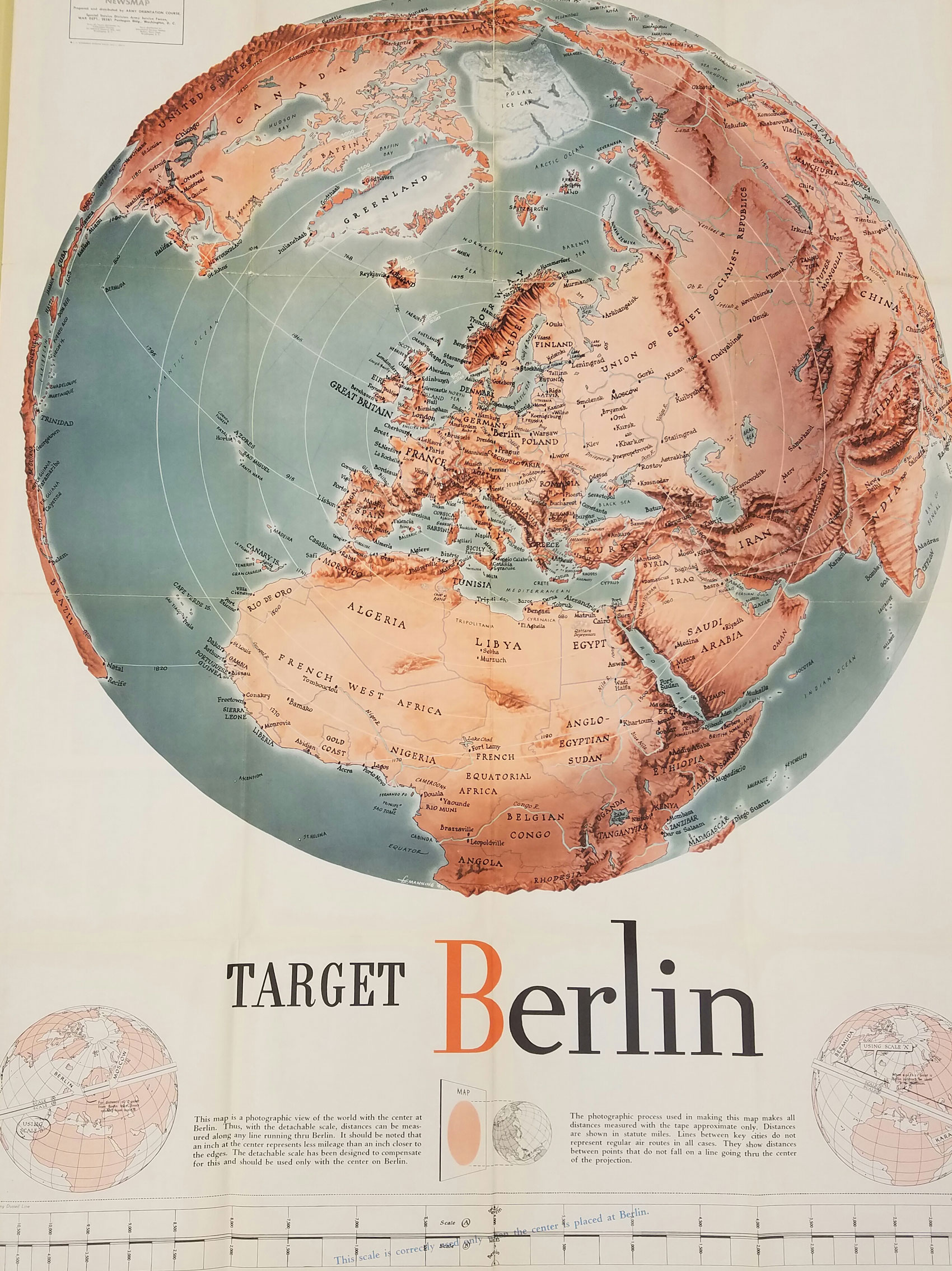
An example of the large-scale maps featured on many of the posters. From the October 25, 1943 edition.
Our collection consists of forty-four posters, most of them two-sided, measuring 36 by 48 inches each. Publication dates range between 1943 and 1946, with the bulk of the posters dating from 1943. It should be noted that this represents only a fraction of the entire run, as more than two hundred posters were eventually published. If you’d like to see the entire set, or can’t make it in to examine our physical collection, check out this page from the University of North Texas Digital Library, which has digitized the entire run of Newsmaps for online use.