
For a look into the past of Washington, D.C., check out the The Ruined Capitol Blog:
A photo depository and discussion dedicated to the comparison of buildings, culture, and society in Washington, D.C. that have been destroyed, replaced or miraculously preserved during the great architectural purge of the Federal City from 1930 to the 1980s.
This blog features historical photos from locations in the nation’s capitol that show the evolution of its urban geography. It’s amazing to see some of these older photographs compared to their contemporary counterparts for a variety of reasons, but one is the difference in scale. An example of this can be seen in the two photographs below, at the intersection of K and 15th St NW (dated ca. 1922; Present). With wider roads and taller buildings, as the author notes, the urban design and architecture have given this location a tremendously different scale and sense of place.

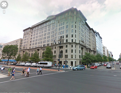
The location of the intersection- courtesy of Google Earth:

For more of these before and after shots of D.C., visit The Ruined Capitol.